 vesseltracker.com
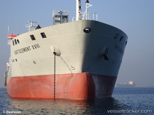
Vessel YANG A IMO: 9540326, MMSI: 255802280 Cement Carrier
UTC, 45.36471, 12.40974, course: 56, speed: 0
UTC, 45.36609, 12.40981, course: 127, speed: 0
2026-02-13 13:58:15 UTC, 45.36716, 12.41094, course: 163, speed: 0
Live AIS position:
UTC. Near Murano),
updated 2026-02-13 13:58:15 UTC.
Find the position of the vessel YANG A on the map. The latter are known coordinates and path.
marine traffic ship tracker show on live map
The current position of vessel YANG A is 45.36716 lat / 12.41094 lng. Updated: 2026-02-13 13:58:15 UTCCurrently sailing under the flag of Portugal (MAR)
YANG A built in 2009 year
Deadweight:
15500 tDetails:
Last coordinates of the vessel:
UTC, 45.36537, 12.40973, course: 98, speed: 0UTC, 45.36471, 12.40974, course: 56, speed: 0
UTC, 45.36609, 12.40981, course: 127, speed: 0
2026-02-13 13:58:15 UTC, 45.36716, 12.41094, course: 163, speed: 0